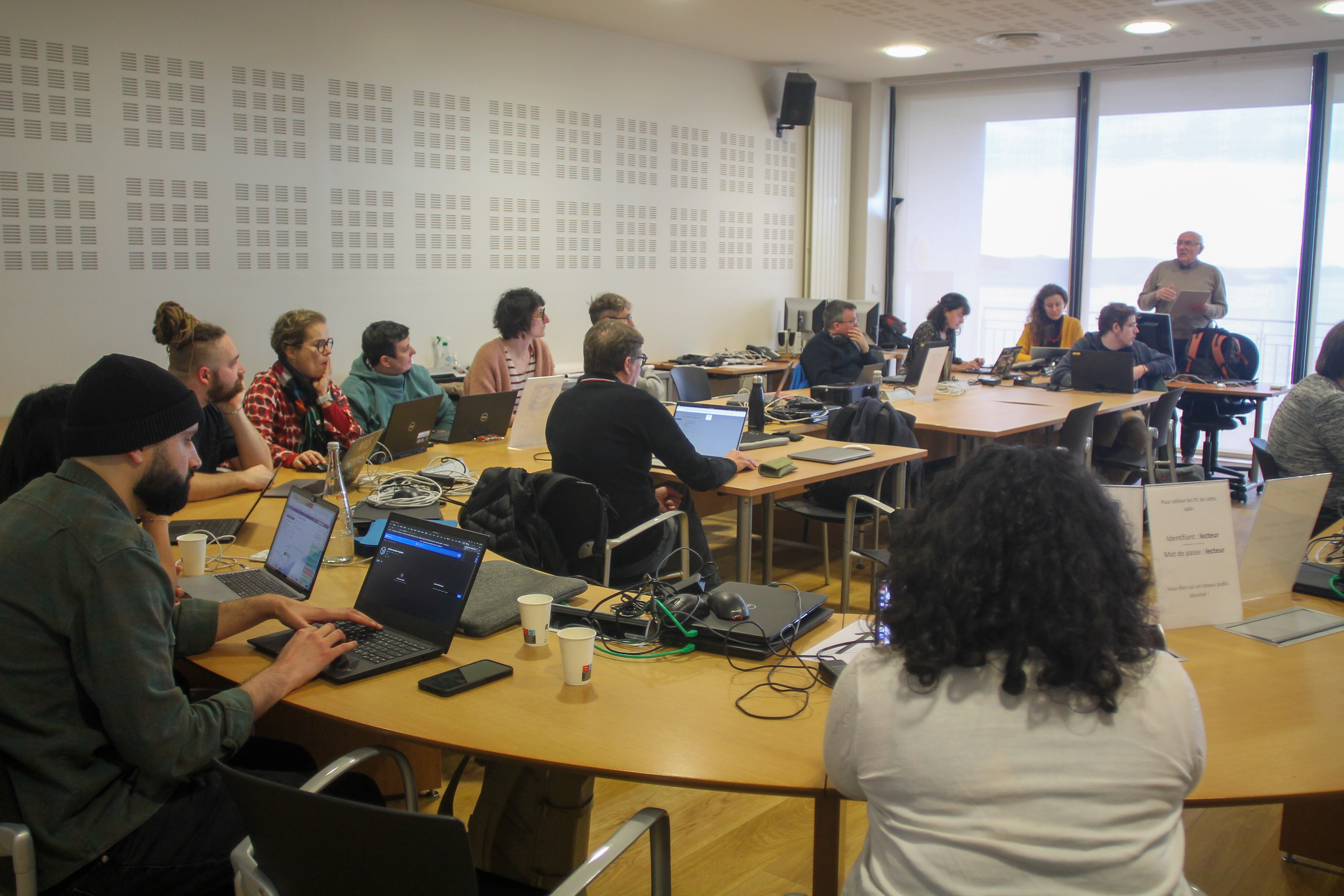
From Code to Discovery: The FAIR-EASE Hackathon, a Milestone at the Crossroads of Earth Sciences

Within the FAIR-EASE project, the mission is clear: make environmental data FAIR — Findable, Accessible, Interoperable, and Reusable. This ambition came to life during the FAIR-EASE Hackathon in Brest at IFREMER in March 2025, which also led the organisation of the event. Researchers, developers, and data experts joined forces to address the questions “Did a phytoplankton bloom occur?” and “How did volcanic ash influence ocean chemistry and biology?”. To tackle this, three interconnected challenges: conducting a multidisciplinary study of the impact of Hunga Tonga volcanic eruption on the marine chemistry and biological activity, customising TerriaMap for geospatial data exploration, and putting Galaxy to the test for environmental science.
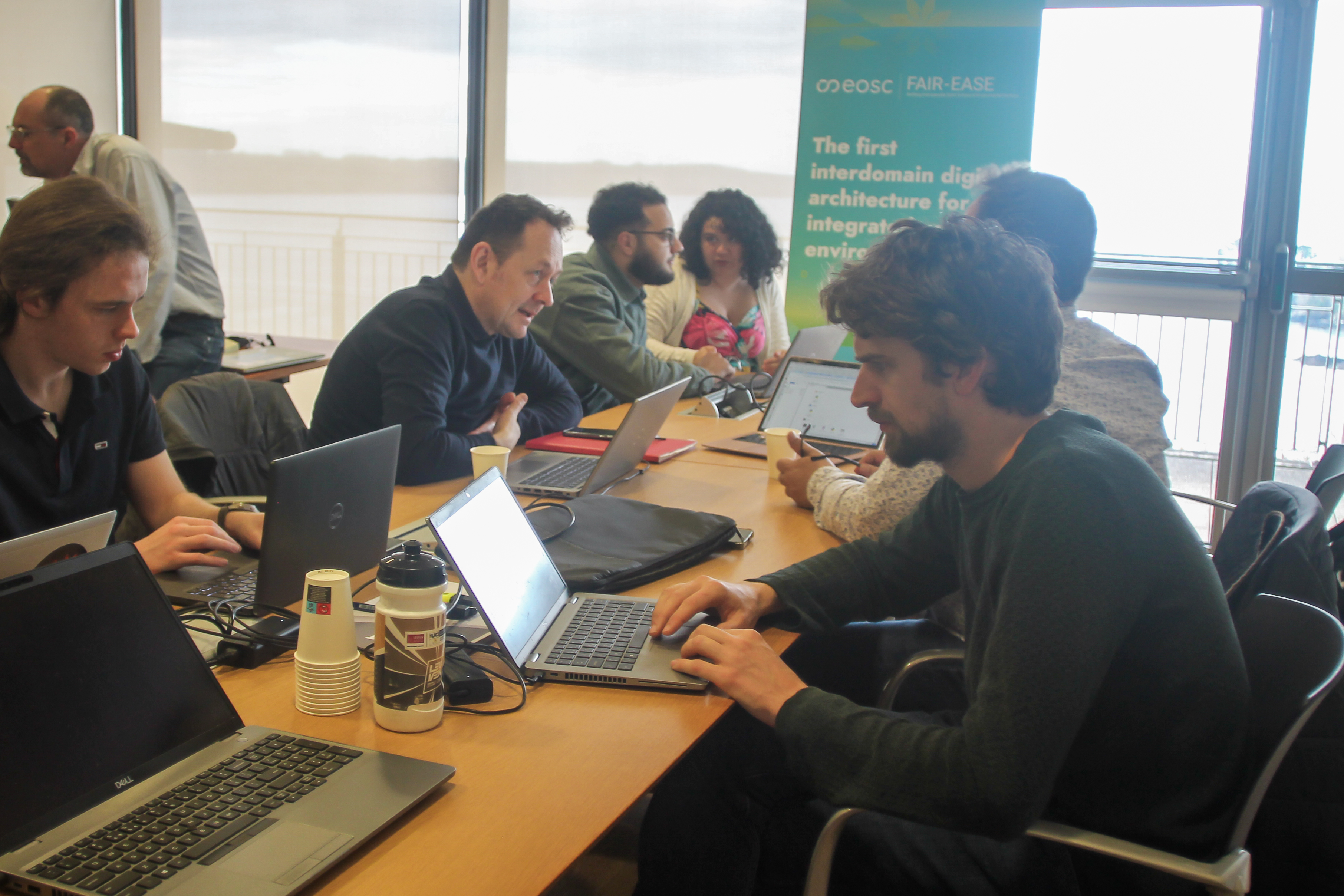
Participants from diverse backgrounds enriched these efforts, reinforcing the synergies between the FAIR-EASE and EOSC EuroScienceGateway projects, which have collaborated closely over the past three years through the platform.
Challenge 1: Galaxy, APIs and Custom Workflows
The first challenge was to push the boundaries of Galaxy. Participants worked to make Galaxy interoperable with the OGC API-Processes standard by automatically generating compatible metadata from Galaxy workflows. This prototype marks a significant step toward seamless integration of geospatial services within analytical tools.
In parallel, the SAGA workflow (from SAMBA) was adapted and integrated into Galaxy, along with new bioinformatics tools. RO-Crate validation was automated, ensuring better traceability and reproducibility. Test deployments of Galaxy Pulsar and the TPV broker confirmed the scalability of the platform.
Takeaway: Galaxy is no longer just a bioinformatics platform — it can embrace environmental science at large.
Challenge 2: TerriaMap – The Next-Generation Interactive Atlas
The second challenge was to make geographic exploration visual, intuitive, and interdisciplinary. The team set up and customised TerriaMap, an open-source viewer, to integrate diverse data sources (satellite, ERDDAP, WMS, CSV, COG, etc.).
With a tailored TerriaMap instance deployed on the FAIR-EASE infrastructure host by Université de Clermont Auvergne, participants were able to visualise SO₂ emissions, ARGO float data, bathymetric maps, and even omics datasets — all in one interactive space. Dynamic feature info templates were configured to link visualised data to external resources, such as the European Nucleotide Archive (ENA).
TerriaMap can now even be launched directly from within Galaxy through a dedicated interactive tool, making geospatial analysis more accessible than ever.
Takeaway: When well configured, TerriaMap becomes a powerful dashboard to explore and cross-reference complex environmental datasets.
 Challenge 3: Hunga Tonga – Real-Time Multidisciplinary Analysis
The record breaking eruption of Hunga Tonga in January 2022 raised many scientific questions: Did a phytoplankton bloom occur? How did volcanic ash influence ocean chemistry and biology? Participants combined satellite data (chlorophyll-a, BBP, nFLH, SO₂, ash) in-situ observations (Argo BGC, GEOTRACES), and ocean current models to investigate the post-eruption dynamics.
Preliminary observations indicate a possible temporal pattern between BBP anomalies and chlorophyll signals, particularly in relation to ash emission events. However, participants emphasized the need for further in-depth analysis before drawing definitive conclusions regarding any causal relationships. A complementary exploration of similar dynamics in the context of Mount Etna is also under consideration, given the availability of denser Argo float data in the Mediterranean region
Takeaway: This use case illustrates the value of cross-disciplinary approaches combining satellite data, in-situ measurements, and FAIR digital tools as VolcPlume or webodv, together with expertises in volcanology, atmospheric and marine sciences.
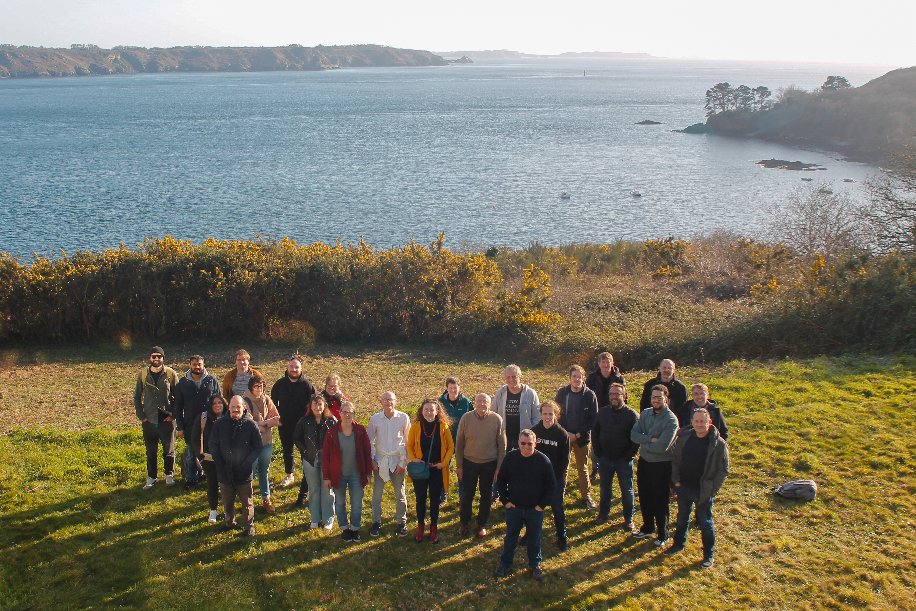
Legacy and Outlook
This hackathon didn’t just deliver tools — it built bridges between platforms (Galaxy, TerriaMap), disciplines (bioinformatics, geosciences), and communities. It demonstrated that a FAIR, collaborative, and open approach can accelerate scientific discovery and our understanding of complex environmental phenomena using a distributed infrastructure of data and services.
Resources and Links
- FAIR-EASE TerriaMap service
- FAIR-EASE WebODV service
- TerriaMap instance in Galaxy
- SAGA workflow
- Volcano Space Observatory / VolcPlume web platform:
- RO-Crate support in Galaxy
- Galaxy Europe for Earth System
Contributors and Collaborating Projects
EOSC EuroScienceGateway Project