The Volcano Space Observatory: an example for interdisciplinary data integration
Coordinated by

Resources
Demonstrators
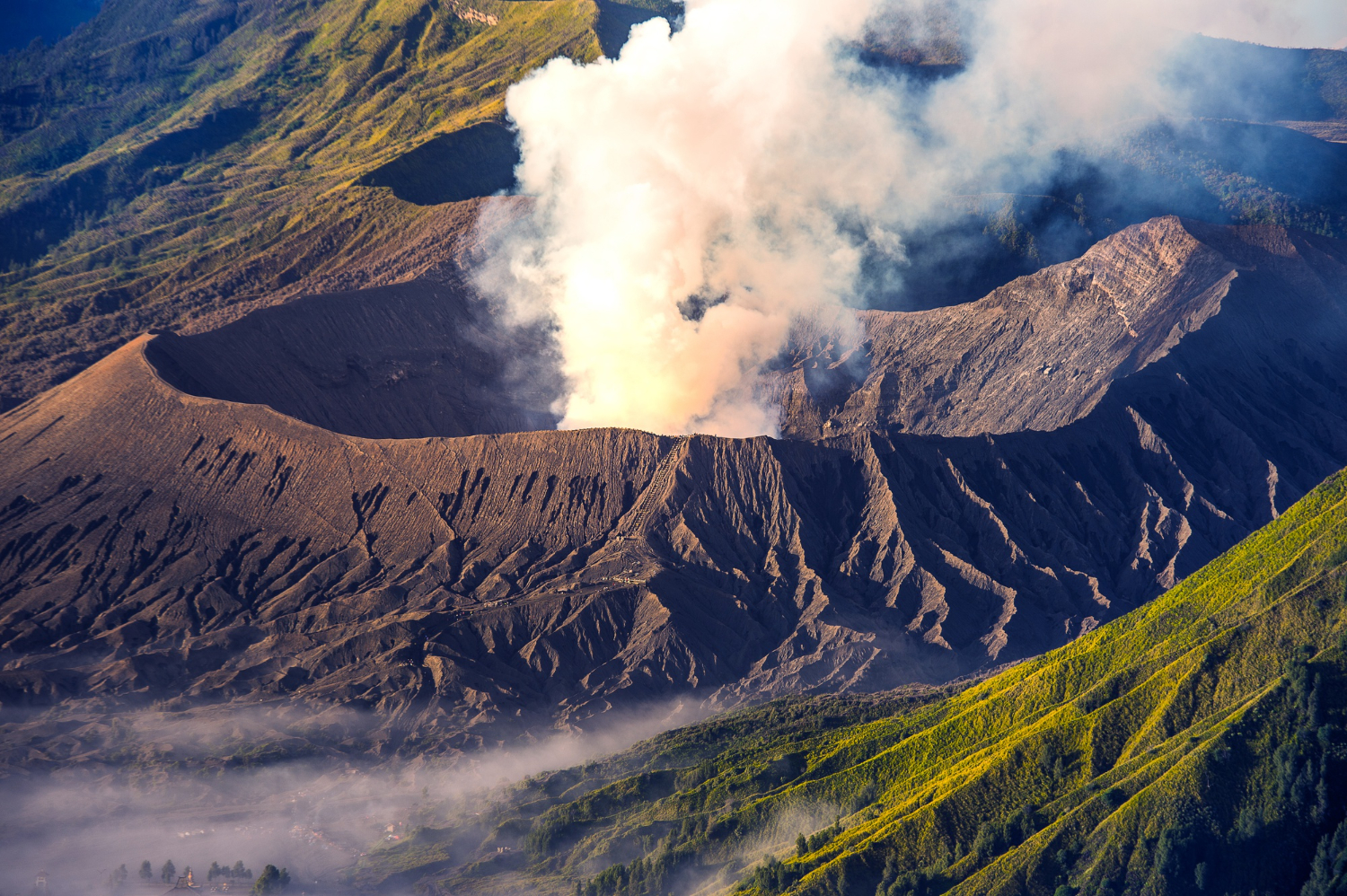
The Horizon Europe FAIR-EASE project fosters interdisciplinary collaboration in Earth Sciences by connecting datasets from diverse sources following FAIR (Fundable, Accessible, Interoperable, Reproducible) principles. The Volcano Space Observatory, a FAIR-EASE’s pilot, exemplifies this approach by aggregating atmospheric and Solid Earth geophysical data. The aim is to support the assessment of volcanic and atmospheric hazards in near-real time on several geographical scales for the protection of populations.
Coordinated by France’s National Centre for Scientific Research (CNRS), the Volcano Space Observatory is an initiative led by Dr. Marie Boichu from the Laboratoire d'Optique Atmosphérique (LOA), University of Lille. By combining satellite and ground-based data, it provides near real-time insights into volcanic emissions of gas and particles as well as volcano ground deformation and topographic changes to track changes in the state of activity of any active volcano worldwide.

Our aim is to provide an open access, interactive, high-performance web portal that can help in supporting the monitoring of volcanic activity and better understanding their impacts on the atmosphere, from air pollution, aviation safety to global climate.
CNRS researcher at the Université Lille
A new multidisciplinary web portal for monitoring volcanic activity and associated atmospheric hazards worldwide
The rich and integrated data resources gathered within the pilot will support scientists within their research to understand complex volcanic phenomena.
The open access web portal allows users to analyse a large set of data from the French National Centre for Atmospheric Data and Services (AERIS), which gathers satellite observations from various international satellite missions, such as CNES or Copernicus Sentinel sensors, and ground data from different networks of the ACTRIS ERIC infrastructure, as well as services from the French National Centre for Solid Earth Data and Services (ForM@Ter).
The project also stands out for open access advanced web interfaces, such as the SO2 Flux Calculator and Emission Height Estimator applications complementary to the VolcPlume web platform, developed to enhance the multi-scale observation of volcanic plumes as well as emission parameters. ‘These new tools provide a more comprehensive, near-real-time view of global volcanic activity,’ adds Dr Boichu, who also emphasises the user-friendly and interactive aspect of the interfaces. ‘During an educational workshop, young students were able to use and explore the tool, and eventually present concrete results on specific volcanic case studies.’
Interactive and open-access web interfaces
The Volcano Space Observatory portal offers an intuitive interface integrating four key open access tools for observations of the volcanic activity and atmospheric hazards:
- VolcPlume: aims at supporting the near-real-time monitoring of volcanic emissions and their multi-scale atmospheric impacts on atmospheric chemistry, air quality, aviation safety and climate. To reach this goal, the platform allows users to jointly analyse a broad set of satellite and ground-based active/passive remote sensing observations of both volcanic gas and particles, including Low Earth and Geostationary Orbit imagery, spaceborne and ground-based lidar, as well as photometric measurements. The platform also gives access to in-situ ground-level data from air quality monitoring networks. This synergy enables users to detect and isolate a volcanic plume signature down to the ground, from source to regional or global scales.
- SO2 Flux Calculator: evaluates daily SO2 gas mass flux emissions from Sentinel-5P/TROPOMI satellite observations, with a robust noise estimation, providing essential information for remotely detecting changes in the degassing or eruptive activities of any active volcano and better assessing volcanic impacts on the atmosphere
- Emission Height Estimator: Evaluates from the analysis of geostationary satellite observations both the time-resolved height of emissions and the near-source velocity of volcanic plumes. Such information is required for tracking the evolution of the volcanic activity and correctly initialising models of plume dispersion to better evaluate atmospheric hazards.
- Volcano ground deformation: Monitors ground deformation from the interactive analysis of satellite interferometric radar (InSAR) imagery (based on fast processing chains), to detect magma movements beneath the surface. The web interface is under development.
By combining these tools, the Volcano Space Observatory supports the remote sensing monitoring of volcanic activity, filling the gaps left by ground-based systems when explosive eruptions make them inoperative or when an eruption takes place at a remote non-instrumented volcano. This pioneering project positions the Volcano Space Observatory as a key tool for volcanic observation, paving the way for improved interdisciplinary scientific collaboration and societal enhancement in the understanding and assessment of volcanological and atmospheric hazards.