Enhancing FAIR Data: Examind Community and openEO for Seamless Interoperability
Coordinated by

Resources
Data access
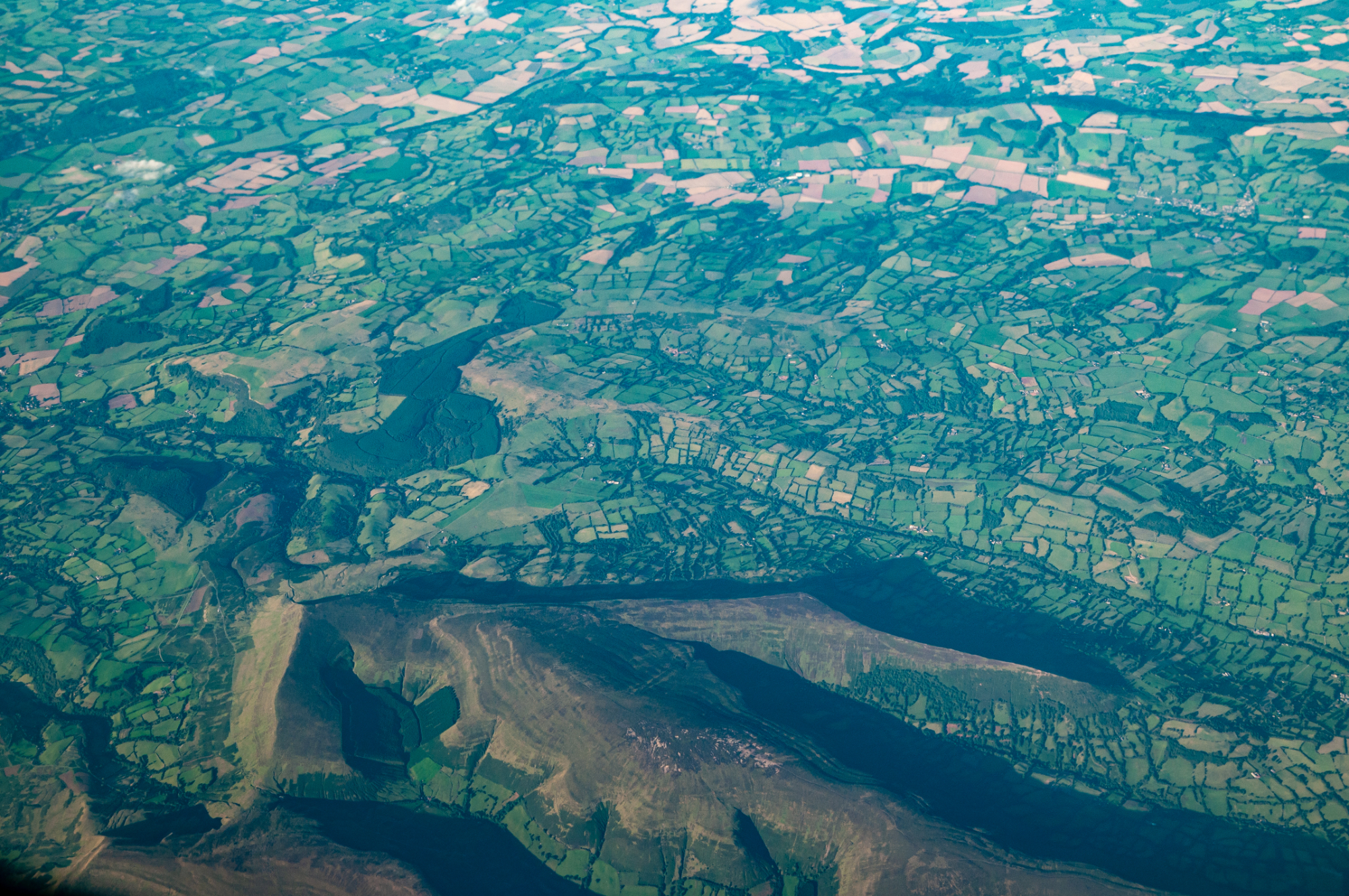
The Copernicus programme produces several thousand terabytes of satellite data every day. To make use of this flood of data and to ensure their FAIRness (Findability, Accessibility, Interoperability, Reusability), the scientific community will require new tools.
As part of its ambition to facilitate the interdisciplinary use of environmental data, the FAIR-EASE project has integrated the Examind Community server into its digital architecture. Examind Community is an open-source solution developed by Geomatys that provides access to geospatial databases and various geospatial formats, exposes data using various OGC standards, and allows data processing directly on the server.
Galaxy workflow added to Examind
Geomatys has worked to make the FAIR-EASE tools even more accessible. Access to Galaxy workflow has been added to Examind via the Web Processing Service (WPS) & API Processes, which makes the work available via an international standard and thus more widely accessible. WPS and API processes are standards defined by the Open Geospatial Consortium (OGC). It provides a framework for carrying out geospatial processes such as analysis and computation on remote servers via the web.
The Geomatys teams took part in the FAIR-EASE project pilots
Geomatys helped the Earth Critical Zone pilot team to create a spatio-temporal data cube from Geotiff files relating to land use in Italy. A datacube is a data structure that organises geospatial information by integrating spatial (latitude, longitude) and temporal (time) dimensions. It provides an efficient way of aggregating, analysing and visualising data that evolves over time, while simplifying its use. This data cube could now be adapted to other contexts, in particular for integration into the LandSupport project to provide precise information on changes in land use.

Geomatys has worked on interoperability, by implementing the openEO standard in Examind. OpenEO provides a framework for running complex geospatial analyses directly on data servers, without having to download all the data. This service opens up the possibility of working efficiently with large quantities of satellite data. Thanks to the integration of openEO, users can now apply processes directly to data hosted on Examind, such as using Sentinel-2 satellite images to calculate vegetation indices.
Developer at GEOMATYS
Implementing the openEO standard
Examind Community and openEO are essential to the success of the FAIR-EASE project, providing a tool that facilitates the processing of a vast database and a standard that extends the scope of research to a wider research community.