Leveraging FAIR-EASE Tools to Study Coastal Dynamics
Demonstrators
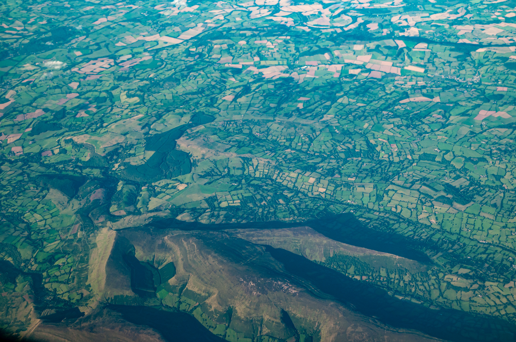
The FAIR-EASE project aims to drive multidisciplinary data use by developing and linking tools for data analysis and visualisation. As one of FAIR-EASE’s five pilot projects, the Coastal Water Dynamics, coordinated by Dr Reiner Schlitzer at Germany’s Alfred Wegener Institute, provides advanced, interoperable data resources to scientists, policymakers, and coastal communities. The pilot focuses on using Italy's Po River and the Northern Adriatic Sea as a natural lab to study the discharge of river particles and water into oceans, affecting coastal dynamics such as plankton blooms, nutrient transport, and fish populations. These insights are crucial for sustainable coastal management, environmental protection, and climate adaptation.
To tackle the complexities of coastal environments, the Coastal Water Dynamics pilot incorporates FAIR-EASE tools that streamline access to diverse datasets—including river, satellite, water column, and model data—allowing for new ways to connect and analyse these data sources.
A New Approach to Coastal Monitoring
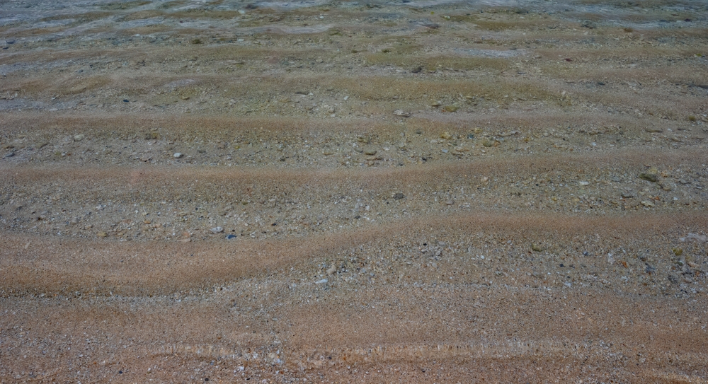
Coastal areas are vital for biodiversity, economies, and human life but face growing pressures from climate change, pollution, and human activities. Traditional coastal monitoring is often fragmented and difficult to access. “Observations are often patchy in space and time, leading to large data gaps”, explains Dr Schlitzer.

The pilot addresses this by providing an accessible platform that combines data from various fields—like satellite imagery, ocean surface and water column data, river data, and scientific models—into a single resource, enabling more effective coastal management.
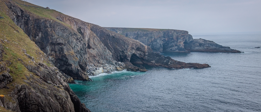
Alfred Wegener Institute (AWI)
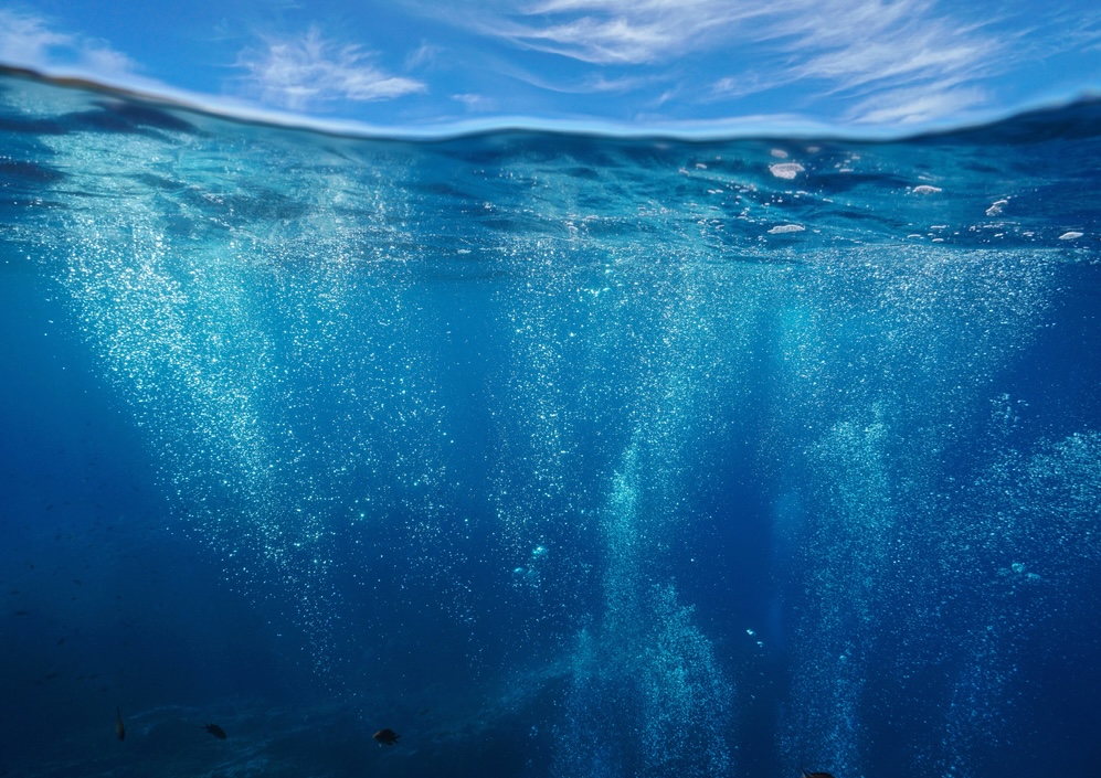
For instance, researchers and environmental agencies can use real-time data from the platform to detect changes in the water quality, for example to monitor algae blooms that risk to threaten marine life and human health. This collaborative effort involves experts in environmental data management and marine science from multiple European institutions.
Rooted in FAIR Principles for Global Use
Aligned with the FAIR principles (Findable, Accessible, Interoperable, and Reusable), the Coastal Water Dynamics pilot makes data accessible to scientists, environmental agencies, and coastal managers worldwide. The platform's design prioritises ease of use, enabling users to conduct analyses directly in their browsers without needing to download data.
The pilot connects and enhances three widely used tools, that will then be deployed in Virtual Research Environments with associated workflows to support multidisciplinary data exploitation:
- webODV: Allows online data analysis and visualisation to explore correlations, such as the impact of river discharges on ocean biology.
- DIVAnd: Facilitates advanced data interpolation and gridding, crucial for incorporating diverse data like ocean circulation.
- SOURCE: Aids in data reprocessing, calibration, and evaluation, helping to compare model predictions with observed data.
Overcoming Data Standardisation Challenges
Many datasets exist in varied formats, posing challenges for unified analysis. The pilot aims to standardise data formats, making it easier to compile multidisciplinary datasets and expand access. As Dr Schlitzer notes, “It requires rethinking data standards in an overarching way, so that coordination occurs across disciplines.”
By creating cohesive, FAIR-aligned data resources, the Coastal Water Dynamics pilot offers a crucial tool for addressing coastal challenges. It enhances current monitoring and management, ensuring that future generations can access today’s data for long-term environmental monitoring and decision-making.