Addressing Land Degradation: The Earth Critical Zone Pilot
Demonstrators
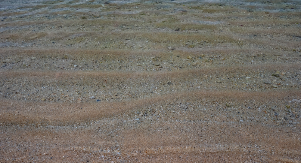
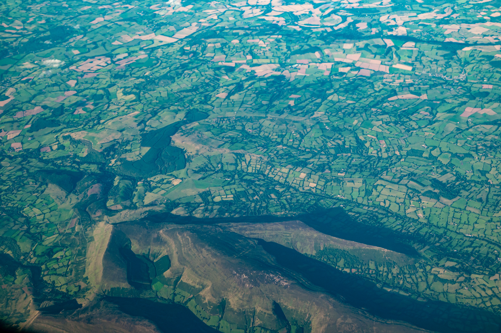
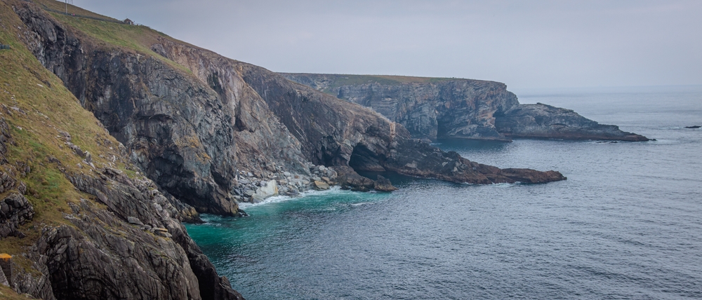
Land degradation, a consequence of erosion, of loss of biodiversity and of climate change, is one of the major environmental challenges of our time that can only be solved by combining knowledge from a variety of disciplines. To meet this challenge, the FAIR-EASE project has launched the Earth Critical Zone Pilot. The aim of this pilot is to provide a soil monitoring tool to support sustainable restoration policies. The ambition is to contribute to the United Nations Sustainable Development Goals (SDGs), in particular indicator 15.3.1, which focuses on land cover change, soil productivity and carbon sequestration.
Led by Professor Giuliano Langella of the University Federico II of Naples, the Earth Critical Zone pilot enhances the LandSupport platform, a free web-based service offering a combined view of agricultural and environmental data, and aimed at both policy-makers and the general public. Integrated into LandSupport, Earth Critical Zone will make it possible to precisely monitor the proportion of degraded land and its evolution. Thanks to this application, users will be able to better assess the potential compromises between different land uses, encouraging harmonious and sustainable land use policies.
Gathering heterogeneous data for a global vision
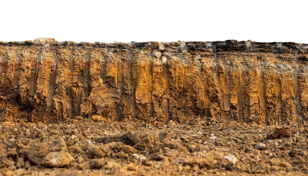
This interdisciplinary work goes beyond traditional indicators by taking account of critical factors, such as erosion, salinisation and soil sealing, to provide a more comprehensive analysis of the state of the land.

The challenge is to collect and combine data that is scattered and highly heterogeneous. To provide a comprehensive view of soil degradation, the pilot uses data from a variety of disciplines, including geology, biology and climate. It also integrates a variety of formats, from geospatial data to soil surveys.
Professor of the University Federico II of Naples
The need for data standardisation
For a long time, the lack of centralised data on soils has limited global and accurate analyses. ‘In Italy, for example, access to general soil data is difficult, because soil surveys are organised at regional level with no national collection system,’ points out Giuliano Langella. ‘This lack of accessible, standardised data demonstrates the need for a tool such as the one we are developing. It also shows the importance of producing FAIR data from the very beginning, so that tools offering interdisciplinary visions can emerge."
The ambition of the Earth Critical Zone Pilot is to offer, by 2025, a tool accessible to all stakeholders, from the scientific community to citizens and decision-makers. This pilot project will make the protection of our environment more accessible by enabling informed decisions to be taken. The Earth Critical Zone offers promising prospects for soil management in Europe and beyond.